|
The region of the US Midwest East of the Rocky Mountains and West of the Appalachians often referred to as Tornado Alley is home to some of the most consistent yet extreme weather on the planet.
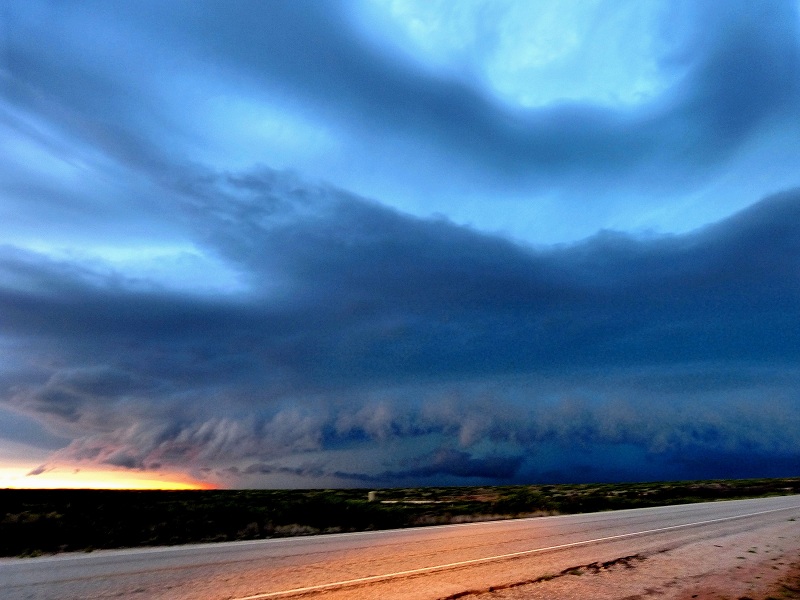
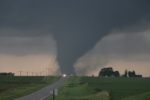
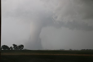
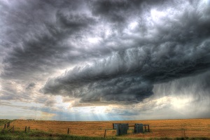
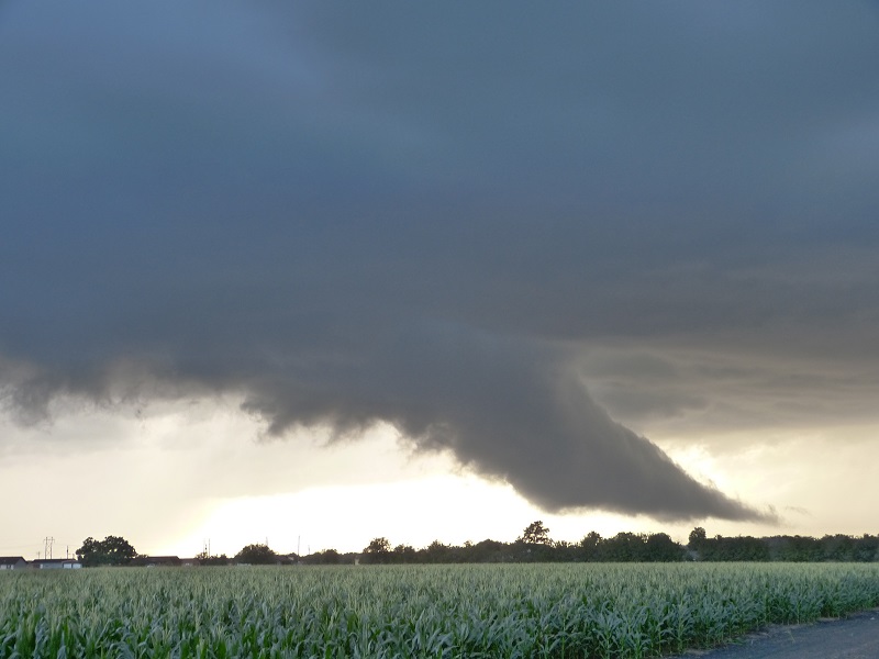
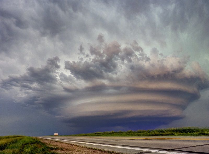
Cold dry air from Canada meets with warm moist air from the Gulf of Mexico and hot dry air from the Southwestern deserts. This air is squeezed between the two mountain ranges across the Great Plains where intense atmospheric instability leads to the formation of huge Supercell Thunderstorms and often massive and damaging tornados.
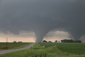
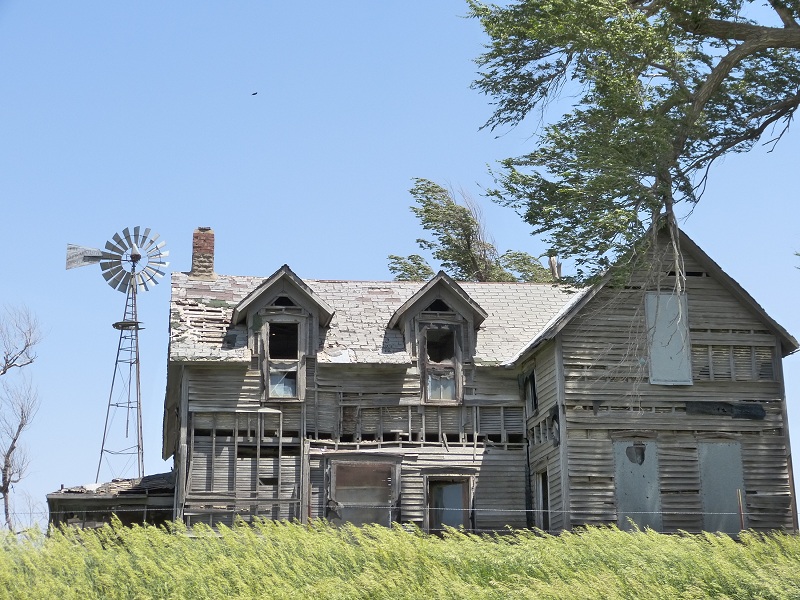
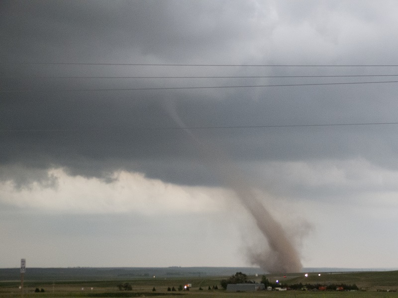
Whilst they form over the sparsely populated plains, sadly all too often we hear of the devastation caused when the track of these huge Tornados brings them into contact with towns and cities.
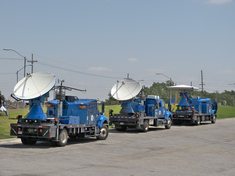
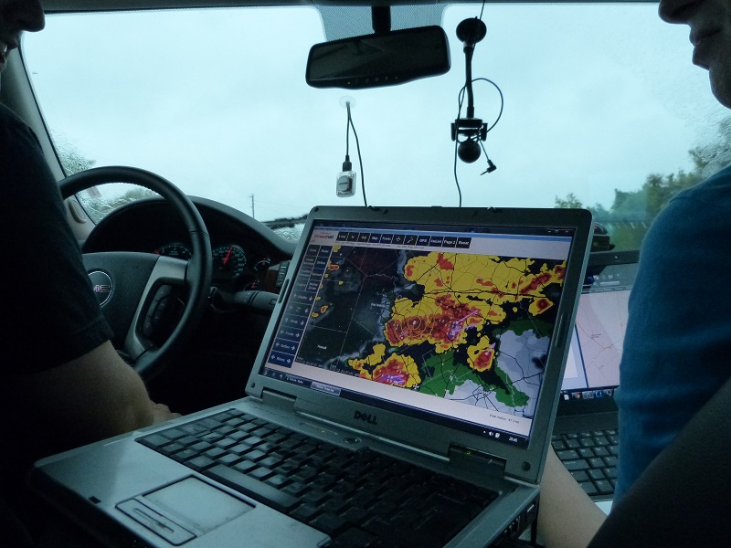
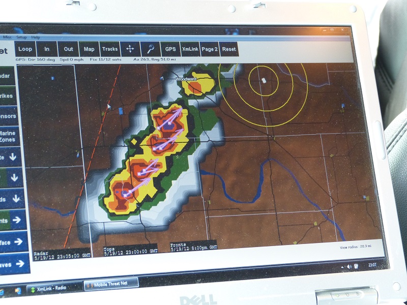
Scientific advances in recent years, particularly the Doppler radar system have led to increasingly accurate warnings being available. These warnings are backed up by live reports and video feeds by Storm Chasers; teams of Meteorologists on the ground with live data feeds to enable accurate prediction of tornado trajectories to be passed to the media and emergency services in real time.
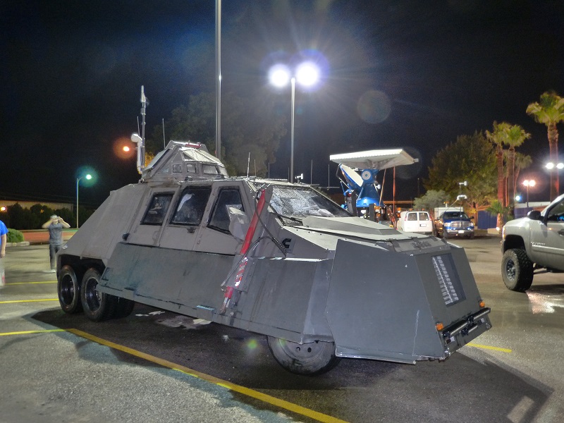
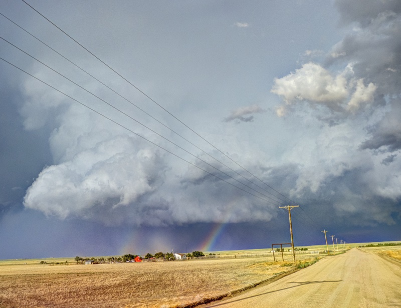
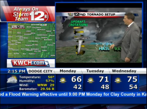
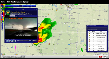
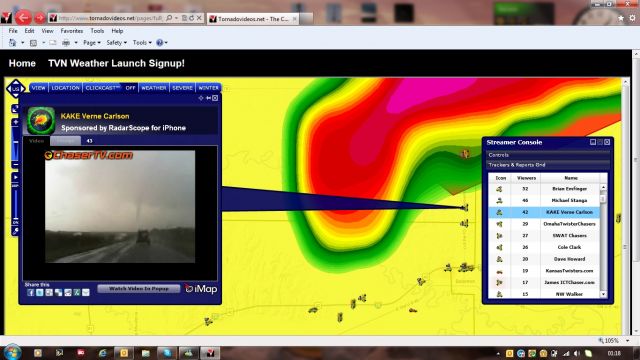
During 2012 thru 2014 I joined teams from Netweather.tv in the US Midwest to experience some of the most extreme weather there is. Many of you followed our progress and you can continue to follow future tours on the maps, watch daily storm analysis and see live video feeds from the chase vehicles by visiting the link below. Additionally, visit the Chaser TV and KWCH StormTeam12 Weather News links below to view live video feeds from hundreds of Storm Chase vehicles superimposed over Doppler radar as well as 24/7 weather news supported by reports and video from the storm chase teams. In 2015 I joined Dan Holley & Berni King for a 3 week trip across the Southern, Central & Northern Plains. I hope to return soon
Selected photos and videos taken during the trips are uploaded to the relevant galleries, YouTube accounts or to the dropbox cloud storage gallery linked below. If you like what you see and want to find out more about a future organised stormchase tour please contact Netweather (weather holidays) directly.
|
